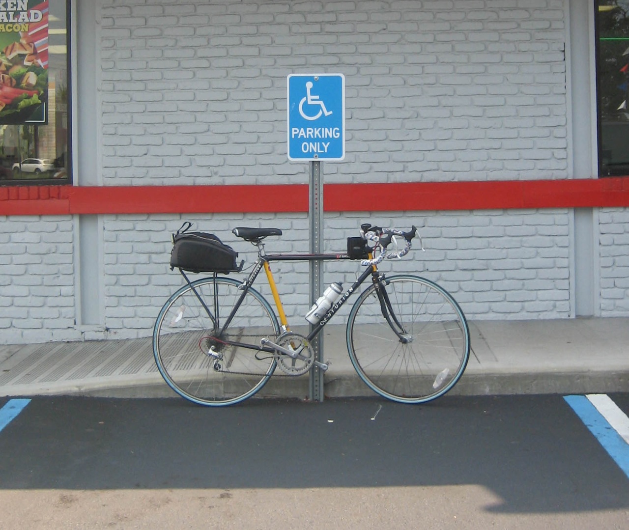
There are 2,027 bridges in NYC.
              I'm trying find all of them.
                         And then cross all of them.
Showing posts with label Queens. Show all posts

Saturday, July 12, 2008

The Grand Street Bridge

Only 2,012 more to go ...

IMG_3227

The Grand Street Bridge
Spans - Brooklyn to Queens over the East Branch of the Newtown Creek (Possibly AKA the English Kills?)
From Gardner Avenue in Brooklyn to 47th Street in Queens

IMG_3231

Grand Street is a two-lane local City street in Queens and Kings Counties. Grand Street runs northeast and extends from the Brooklyn Queens Expressway in Brooklyn to Queens Boulevard in Queens.
The road is known as Grand Street west of the bridge and Grand Avenue east of the bridge.
The Grand Street Bridge is a 69.2m long swing type bridge with a steel truss superstructure.

IMG_3228

The general appearance of the bridge remains the same as when it was opened in 1903. The bridge provides a channel with a horizontal clearance of 17.7m and a vertical clearance, in the closed position, of 3.0m at Median High Water and 4.6m at Median Low Water.

IMG_3240

The bridge structure carries a two-lane two-way vehicular roadway with sidewalks on either side. The roadway width on the bridge is 6.0m and the sidewalks are 1.8m wide. The height restriction is 4.1m.
The approach roadways are wider than the bridge roadway. For example, the width of Grand Avenue at the east approach to the bridge (near 47th Street) is 15.11m.

Bridge facts from NYC DOT

IMG_3234

The Grand Street Bridge is one of five (need to fact check this as of 07/08) bridges which connect Brooklyn to Queens across the Newtown Creek and it's branches, Maspeth Creek and The English Kills.
Those Bridges are:
The Pulaski Bridge
The Greenpoint Avenue/JJ Byrne Memorial Bridge
The Kosciuszko Bridge
The Grand Street Bridge
and the Metropolitan Avenue Bridge

"The Newtown Creek is a murky estuary that runs 3 1/2 industrialized miles along the border of Greenpoint, Brooklyn and Maspeth, Queens. Once a site of mansions, then a mecca for shipbuilders, the creek is now a toxic dumping ground that bubbles up raw sewage every time it rains. Newtown Creek has been given the lowest possible cleanliness rating by both New York City and New York State. The Riverkeeper, wrote of the creek:

"It fails to meet even the most basic goals of the 1972 Clean Water Act. Nearly the entire stretch of the creek is heavily industrialized, there is virtually no public access, and water dependent industries have stagnated. A boat trip up the creek is a journey into the heart of darkness, with the backdrop of the Manhattan skyline as a reminder of its real world locale."

pbs.org

Pedestrian and Bicycle Access:
There is a pedestrian pathway on this bridge, but I don't recommend cycling on it.
Most cyclists merge into traffic and cross the metal grating because the Brooklyn side of the path is a completely demolished, uneven dirt path and stairs.


IMG_3235 IMG_3241


Random Bridge Factoids:
The Grand Street Bridge looks very similar in character and design to the Carroll Street Bridge which was completed in 1889. Unfortunately, this bridge hasn't received as much love over the years and it shows.

The Newtown Creek has a long history of tragedy:

* January 1894: At least four workers dredging the creek died after a flimsy foot bridge they were standing upon collapsed.
* July 1894: Two boys, apparently brothers, drowned after they evidently got caught in the “ooze and slime” at the bottom of the creek, which is composed of soft sediment.
* January 1896: A Polish priest of the Roman Catholic Church fell into the creek and drowned.
* June 1910: A boy, roughly age 12, drowned in the creek at the foot of Ten Eyck Street in Williamsburg, Brooklyn. His clothing was found nearby.
* February 1928: A 29-year-old worker was killed when a 325-ton draw span was moved upstream to make way for a new bridge.
* January 1934: Two men drowned after their car plunged into the creek from the Penny Bridge, linking Greenpoint, Brooklyn, and Long Island City, Queens.
* November 1942: A 28-year-old diver drowned in the creek off Review Avenue in Long Island City “when his diving helmet became detached in an undetermined manner while he was searching for a link in an oil pipe crossing the creek,” The Times reported.
NYTimes
DrownedNewtown

January 26, 1896, New York Times

"The unguarded condition of Newtown Creek at the Grand Street Bridge, was responsible for another drowning accident early yesterday morning. The victim was a tall, heavily built man, who, from papers found in his pockets, is supposed to be the Rev. Leonard Syczek, a Polish priest of the Roman Catholic Church."

Borough: Brooklyn/Queens
Type: Swing
Waterway: Newtown Creek
Miles from Mouth: 3.1
Length: 555'
Max. Span: 227
Roadways: 1 - 19' 7"
Sidewalks: 2 - 6' 0"
Construction Cost: $191,008.19
Land Cost: $14,663.53
Total Cost: $205,671.72
Date Opened: Feb. 3, 1903

In 1998 (the last year I could find data for) it opened 86 times both for testing and water traffic


View Larger Map

Saturday, April 26, 2008

Marine Parkway Gil Hodges Memorial Bridge

Only 2,015 more to go...

IMG_2792

As seen from the Rockaway Peninsula.

Spans: Brooklyn to Queens, The Rockaway Inlet of Jamaica Bay

The Marine Parkway-Gil Hodges Memorial Bridge is a vertical lift bridge that crosses the Rockaway Inlet of Jamaica Bay, connecting the Rockaway Peninsula in Queens with Floyd Bennett Field in Brooklyn. It is one of very few toll bridge in NYC, and carries four motor traffic lanes and a (free) 5’ wide foot/cyclepath on the western edge.

IMG_2788

Built under the auspices of the Marine Parkway Authority in 1937, the bridge was designed by Aymar Embury II, who was also the architect of the Bronx-Whitestone and Triborough Bridges. In 1978, the bridge was renamed for Gil Hodges, the former first baseman for the Brooklyn Dodgers. Hodges retained his relationships in Brooklyn after the team moved to Los Angeles, later played for the New York Mets, and then managed them from 1968 until his death in 1972. We do love our baseball in NYC.

In 1938, the bridge’s first full year of operation, 1.9 million vehicles crossed the bridge; in 2006, 7.8 million did. The vertical lift was raised 157 times in 2006 to allow vessels to pass through the Rockaway Inlet. The center span is 540 feet long and is only 55 feet above the water but can be lifted up to a height of 150' feet above the water. When it opened, the bridge had the longest vertical lift span in the world; it is still the longest vertical lift span for vehicular traffic in North America.
Bridge Information from MTA info

IMG_2799

Both ends of the bridge today are within the Gateway National Recreation Area connecting Floyd Bennett Field and Jacob Riis Park. Bridge traffic surges by more than 50 percent during the summer as city dwellers make their way to the beach.

IMG_2770

Seen in the distance from the Shore Parkway

The M.T.A. offered this historical tidbit in a news release commemorating the Bridge’s 70th Anniversary:

The morning of July 3, 1937, marked the grand opening of the new Marine Parkway Memorial Bridge. With the sun shining and the N.Y.P.D. Police Band ready to play, Mayor Fiorello H. La Guardia, Robert Moses, head of the Marine Parkway Authority and city Parks Commissioner and other officials, were getting ready to embark in a 500-car motorcade to christen the bridge.
There was excitement in the air as the band tuned up from its designated place on the bridge’s elevated lift span and invited guests got into cars on the Brooklyn side of the bridge along Flatbush Avenue for the inaugural ride across the span.
But the first vehicle to cross the bridge did not belong to the mayor or master builder Robert Moses, who helped make the bridge a reality. About 15 minutes before the ceremonies were scheduled to start, the first vehicles to cross the span were three engine companies from Brooklyn; summoned to help put out a five-alarm fire that destroyed two blocks of wooden concession stands along the Rockaway Beach Boardwalk.
Even before its official opening, the bridge proved it was an asset to the community. Mayor La Guardia pointed out that if the bridge wasn’t there, it would have taken the Brooklyn fire companies precious minutes to travel to the old Cross Bay Bridge, four miles to the east.
The Police Band, which scrambled off the lowered lift before the fire trucks screamed across the bridge, resumed their post and the ceremony went on as planned. A gun salute from nearby Fort Tilden announced the beginning of the event, which included a fireboat pumping streams of water into the air and a flyover by nine Martin bomber planes from nearby Mitchel Field.
Today, during the anniversary celebration, a Rockaway Point Volunteer Fire Department truck led the motorcade, the authority said, “in a nod to history.”

Quoted from the NY Times


IMG_2791

View of Coney Island with the Verrazano Narrows Bridge in the distance from the center span of the bridge.

Toll info Effective March 16, 2008

Cash $2.50

Token $1.67

E-Zpass $1.55

Rockaway Resident Token $1.40

Rockaway Resident E-Zpass $1.03


Toll Information from MTA info


Type of bridge: Vertical lift-span
Construction started: June 1, 1936
Opened to traffic: July 3, 1937
Length of main lift-truss span: 540 feet
Length of side truss spans: 540 feet
Total length of bridge and approaches: 4,022 feet
Number of traffic lanes: 4 lanes
Clearance at lift span above mean high water: 55 feet
Clearance at lift span in raised position: 150 feet
Steel used in through truss spans and towers: 7,600 tons
Steel used in deck truss spans: 3,800 tons
Concrete used in truss piers: 24,000 cubic yards
Concrete used in deck truss spans: 23,000 cubic yards
Cost of original structure: $12,170,000

Bridge Statistics from NYCRoads


View Larger Map