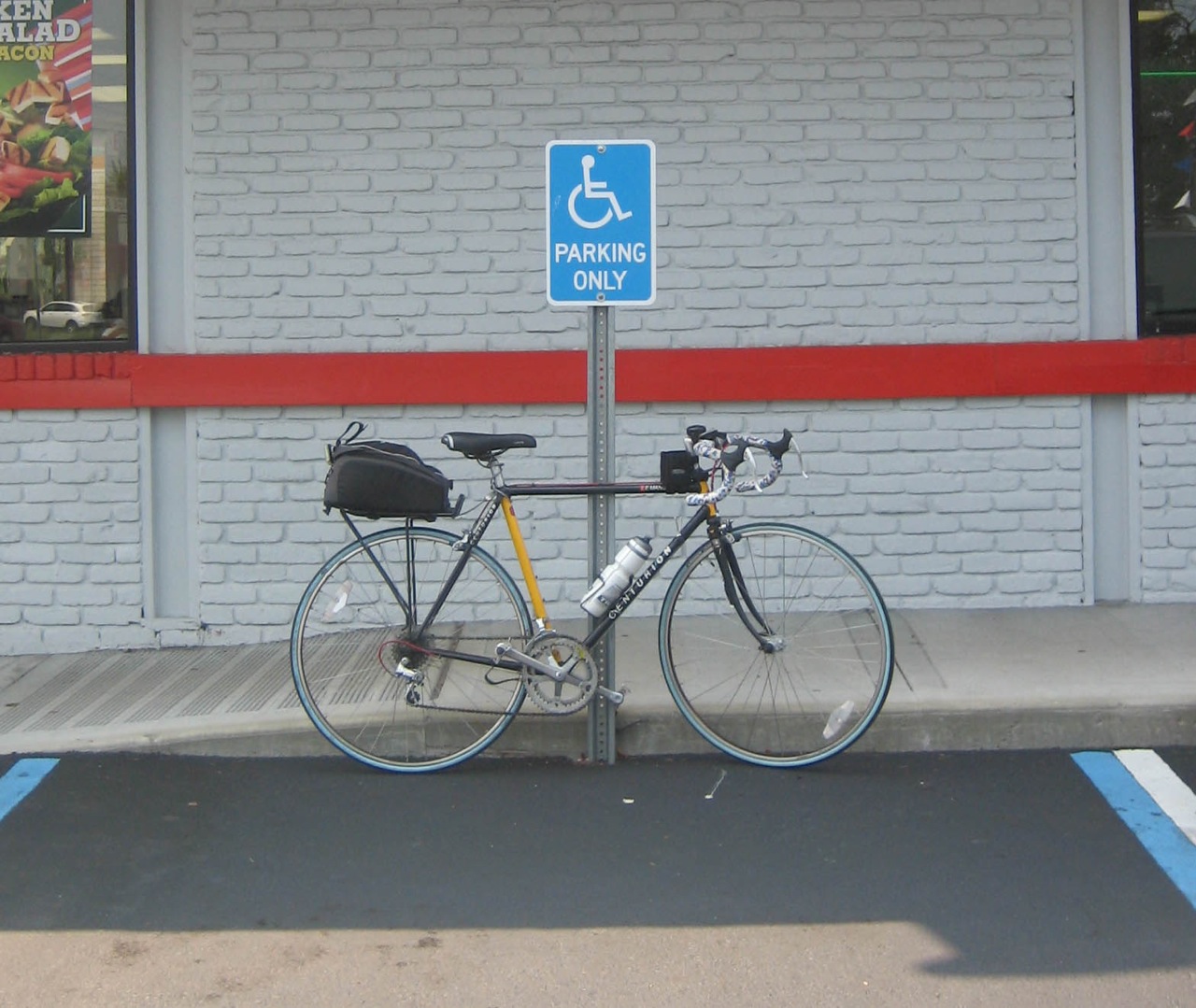
Only 2,012 more to go ...

The Grand Street Bridge
Spans - Brooklyn to Queens over the East Branch of the Newtown Creek (Possibly AKA the English Kills?)
From Gardner Avenue in Brooklyn to 47th Street in Queens

Grand Street is a two-lane local City street in Queens and Kings Counties. Grand Street runs northeast and extends from the Brooklyn Queens Expressway in Brooklyn to Queens Boulevard in Queens.
The road is known as Grand Street west of the bridge and Grand Avenue east of the bridge.
The Grand Street Bridge is a 69.2m long swing type bridge with a steel truss superstructure.

The general appearance of the bridge remains the same as when it was opened in 1903. The bridge provides a channel with a horizontal clearance of 17.7m and a vertical clearance, in the closed position, of 3.0m at Median High Water and 4.6m at Median Low Water.

The bridge structure carries a two-lane two-way vehicular roadway with sidewalks on either side. The roadway width on the bridge is 6.0m and the sidewalks are 1.8m wide. The height restriction is 4.1m.
The approach roadways are wider than the bridge roadway. For example, the width of Grand Avenue at the east approach to the bridge (near 47th Street) is 15.11m.
Bridge facts from NYC DOT

The Grand Street Bridge is one of five (need to fact check this as of 07/08) bridges which connect Brooklyn to Queens across the Newtown Creek and it's branches, Maspeth Creek and The English Kills.
Those Bridges are:
The Pulaski Bridge
The Greenpoint Avenue/JJ Byrne Memorial Bridge
The Kosciuszko Bridge
The Grand Street Bridge
and the Metropolitan Avenue Bridge
"The Newtown Creek is a murky estuary that runs 3 1/2 industrialized miles along the border of Greenpoint, Brooklyn and Maspeth, Queens. Once a site of mansions, then a mecca for shipbuilders, the creek is now a toxic dumping ground that bubbles up raw sewage every time it rains. Newtown Creek has been given the lowest possible cleanliness rating by both New York City and New York State. The Riverkeeper, wrote of the creek:
"It fails to meet even the most basic goals of the 1972 Clean Water Act. Nearly the entire stretch of the creek is heavily industrialized, there is virtually no public access, and water dependent industries have stagnated. A boat trip up the creek is a journey into the heart of darkness, with the backdrop of the Manhattan skyline as a reminder of its real world locale."
pbs.org
Pedestrian and Bicycle Access:
There is a pedestrian pathway on this bridge, but I don't recommend cycling on it.
Most cyclists merge into traffic and cross the metal grating because the Brooklyn side of the path is a completely demolished, uneven dirt path and stairs.
 |
 |
Random Bridge Factoids:
The Grand Street Bridge looks very similar in character and design to the Carroll Street Bridge which was completed in 1889. Unfortunately, this bridge hasn't received as much love over the years and it shows.
The Newtown Creek has a long history of tragedy:
* January 1894: At least four workers dredging the creek died after a flimsy foot bridge they were standing upon collapsed.
* July 1894: Two boys, apparently brothers, drowned after they evidently got caught in the “ooze and slime” at the bottom of the creek, which is composed of soft sediment.
* January 1896: A Polish priest of the Roman Catholic Church fell into the creek and drowned.
* June 1910: A boy, roughly age 12, drowned in the creek at the foot of Ten Eyck Street in Williamsburg, Brooklyn. His clothing was found nearby.
* February 1928: A 29-year-old worker was killed when a 325-ton draw span was moved upstream to make way for a new bridge.
* January 1934: Two men drowned after their car plunged into the creek from the Penny Bridge, linking Greenpoint, Brooklyn, and Long Island City, Queens.
* November 1942: A 28-year-old diver drowned in the creek off Review Avenue in Long Island City “when his diving helmet became detached in an undetermined manner while he was searching for a link in an oil pipe crossing the creek,” The Times reported.
NYTimes

January 26, 1896, New York Times
"The unguarded condition of Newtown Creek at the Grand Street Bridge, was responsible for another drowning accident early yesterday morning. The victim was a tall, heavily built man, who, from papers found in his pockets, is supposed to be the Rev. Leonard Syczek, a Polish priest of the Roman Catholic Church."
Borough: Brooklyn/Queens
Type: Swing
Waterway: Newtown Creek
Miles from Mouth: 3.1
Length: 555'
Max. Span: 227
Roadways: 1 - 19' 7"
Sidewalks: 2 - 6' 0"
Construction Cost: $191,008.19
Land Cost: $14,663.53
Total Cost: $205,671.72
Date Opened: Feb. 3, 1903
In 1998 (the last year I could find data for) it opened 86 times both for testing and water traffic
View Larger Map